GIS Design
Organize, Analyze, and Share
A well-designed GIS can enable employees and residents to make better decisions
Implementing a GIS can be an overwhelming process, especially for small- and mid-size organizations. Often there are various publically-available datasets that could be incorporated into a GIS, but identifying where to start can be confusing and managing the data can be overwhelming—especially when combined with a myriad of other day-to-day tasks. Data issues and lack of information about legacy GIS files make trusting them difficult without time-consuming scrutiny, especially if the employees who created them have moved on to new jobs.
By training GIS students to follow standardized data models, it becomes easier to prioritize data needs. Adhering to standard data models also 'future-proofs' systems and enables integration with data from other sources in an efficient and effective manner.
Finally, using these standardized models allows solutions to be quickly deployed, empowering stakeholders with additional information. This data transparancy also frees up organizational staff time previously spent responding to questions.
Project example
Problem
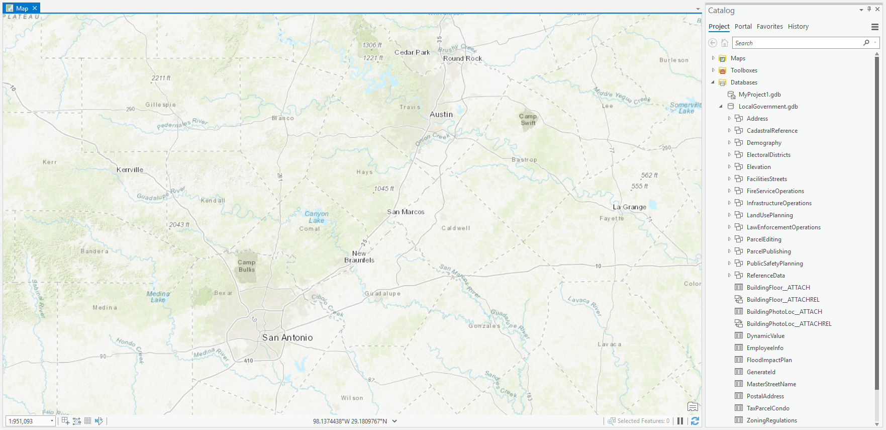
A small municipality experienced significant turnover in their GIS staffing. As a result, data became scattered, making it difficult to identify the most recent versions of datasets. The municipalities one staff member who knew anything about GIS did not have time to cull through this data but recognized the value.
Solution
By engaging the Institute to help, students employed the Esri Local Government Information Model (LGIM), then batch processed data, and were able to create a chronological history of datasets and organize them for final incorporation in a geodatabase. The municipality could easily explore and add to this geodatabase, using it to deploy solutions for internal and external use.